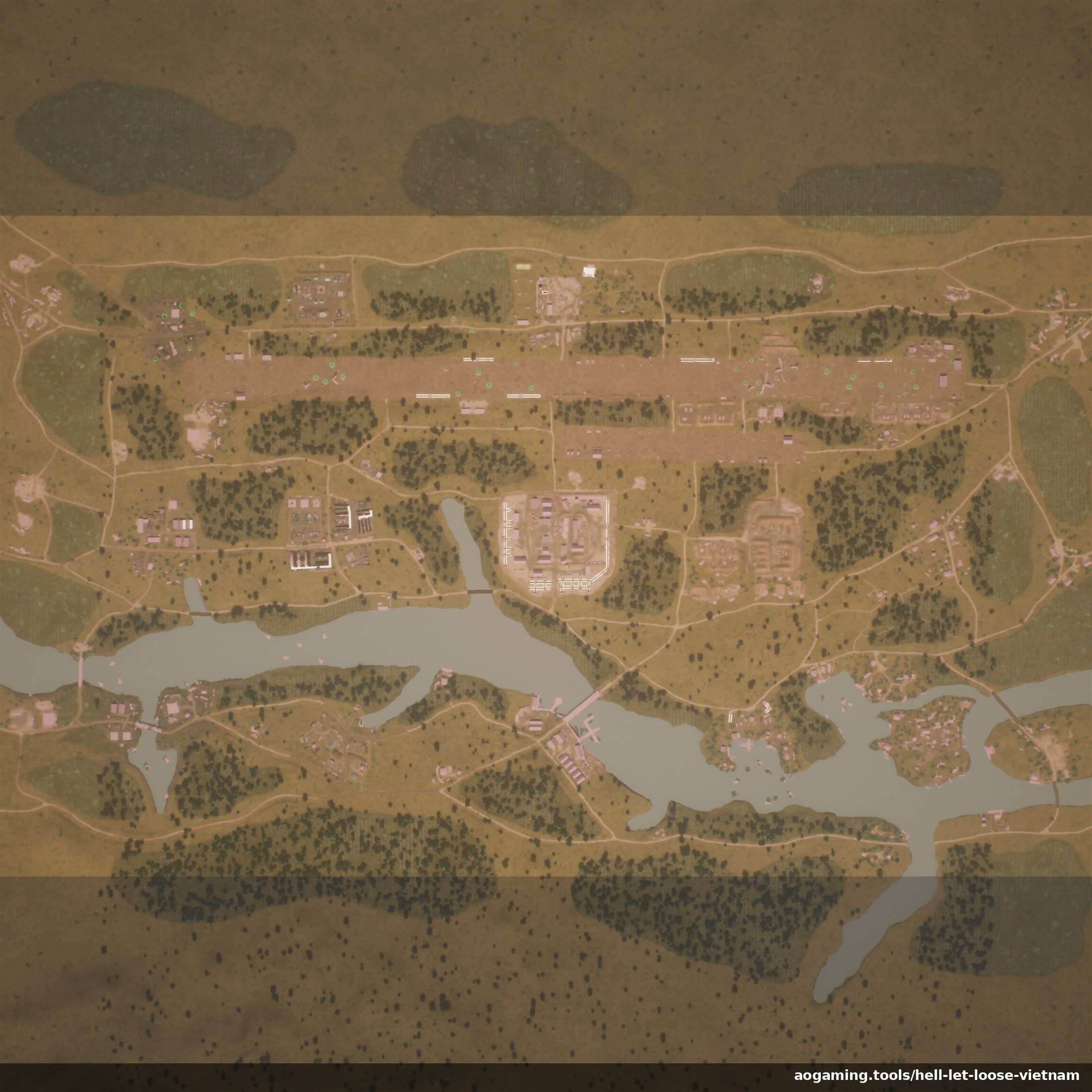
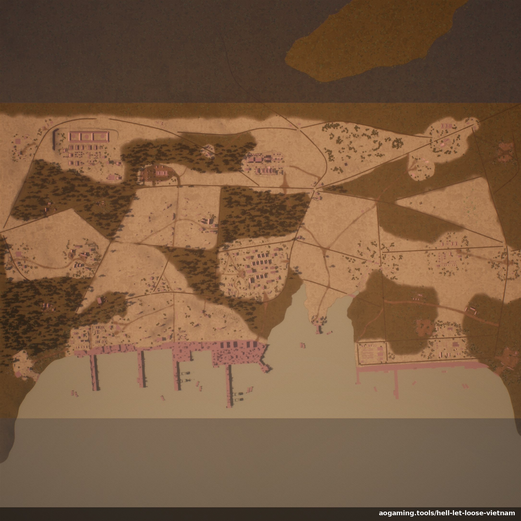
Every Hell Let Loose: Vietnam map, in one place - Thanh Hóa Bridge, Huế Outskirts,
Vạn Tường, Quảng Ngãi, Đắk Tô Airfield, and Cam Ranh
Port. Each tactical map below is the real in-game map art, with the coordinate grid and capture
point names available as an overlay.
Location names are still being fine-tuned - a few are currently off by up to about half a grid
cell. Positions will be corrected as they're verified.
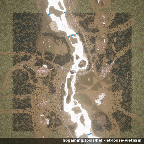
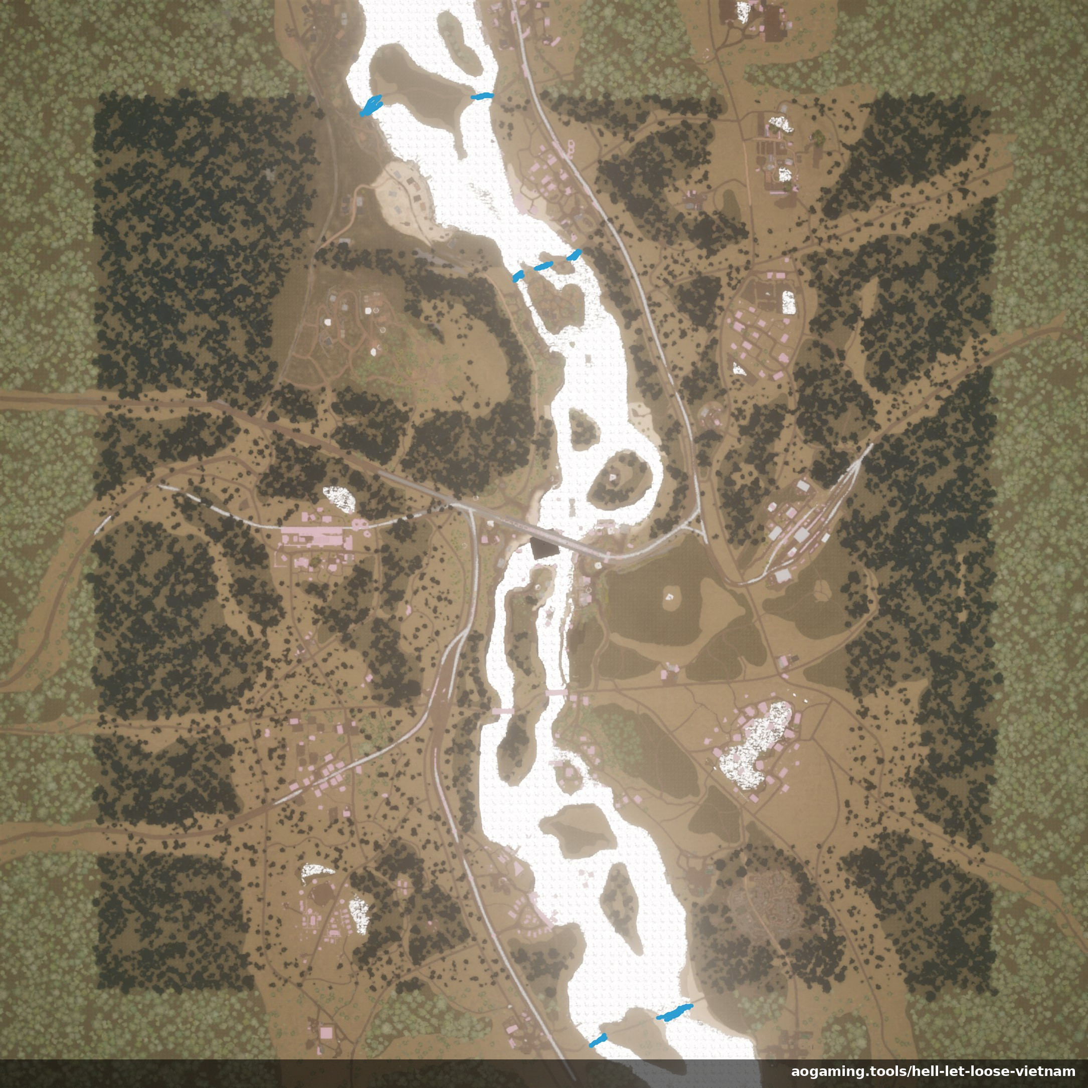
Thanh Hóa Bridge
Based on: Operation Rolling Thunder, 1965–1968
River crossings over the Nam Ma River, mountainous terrain, and close-quarters fighting through villages and trainyards around the heavily defended "Dragon's Jaw" bridge.
Plan on this map
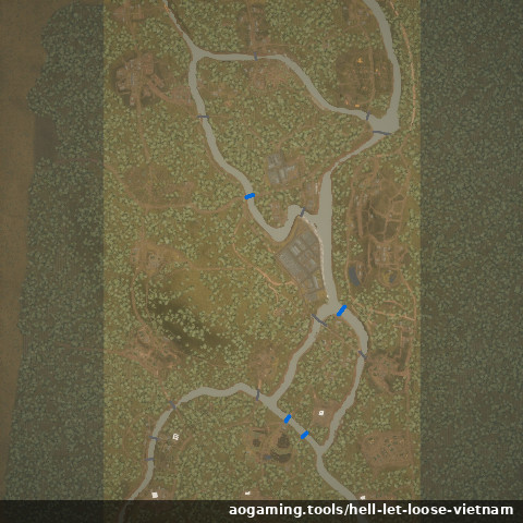
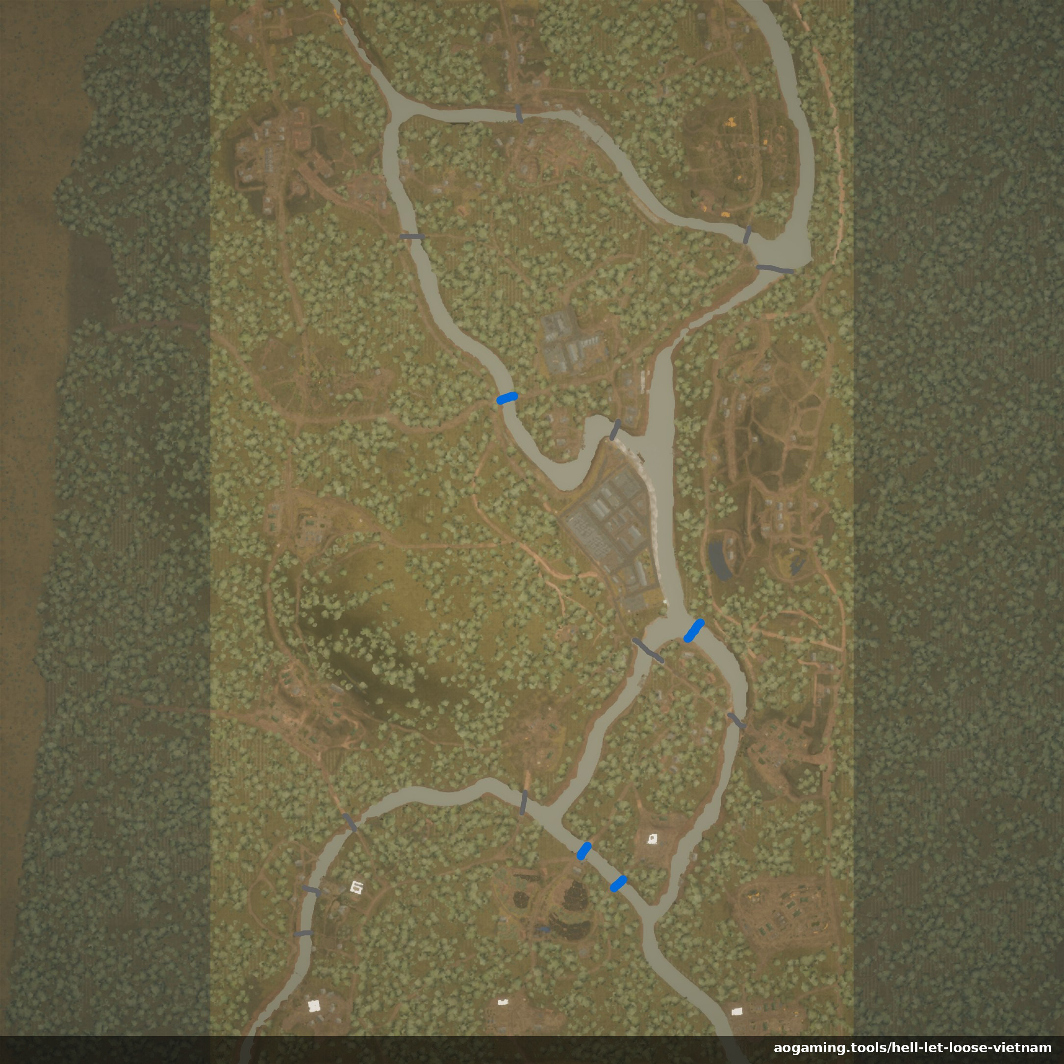
Huế Outskirts
Based on: Tet Offensive, January 1968
Mountainous terrain and terraced farmland surrounding Huế as US forces push to retake the city, with vertical combat and close-quarters fights around fortified bases and industrial areas linked by waterways.
Plan on this map
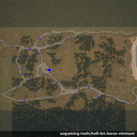
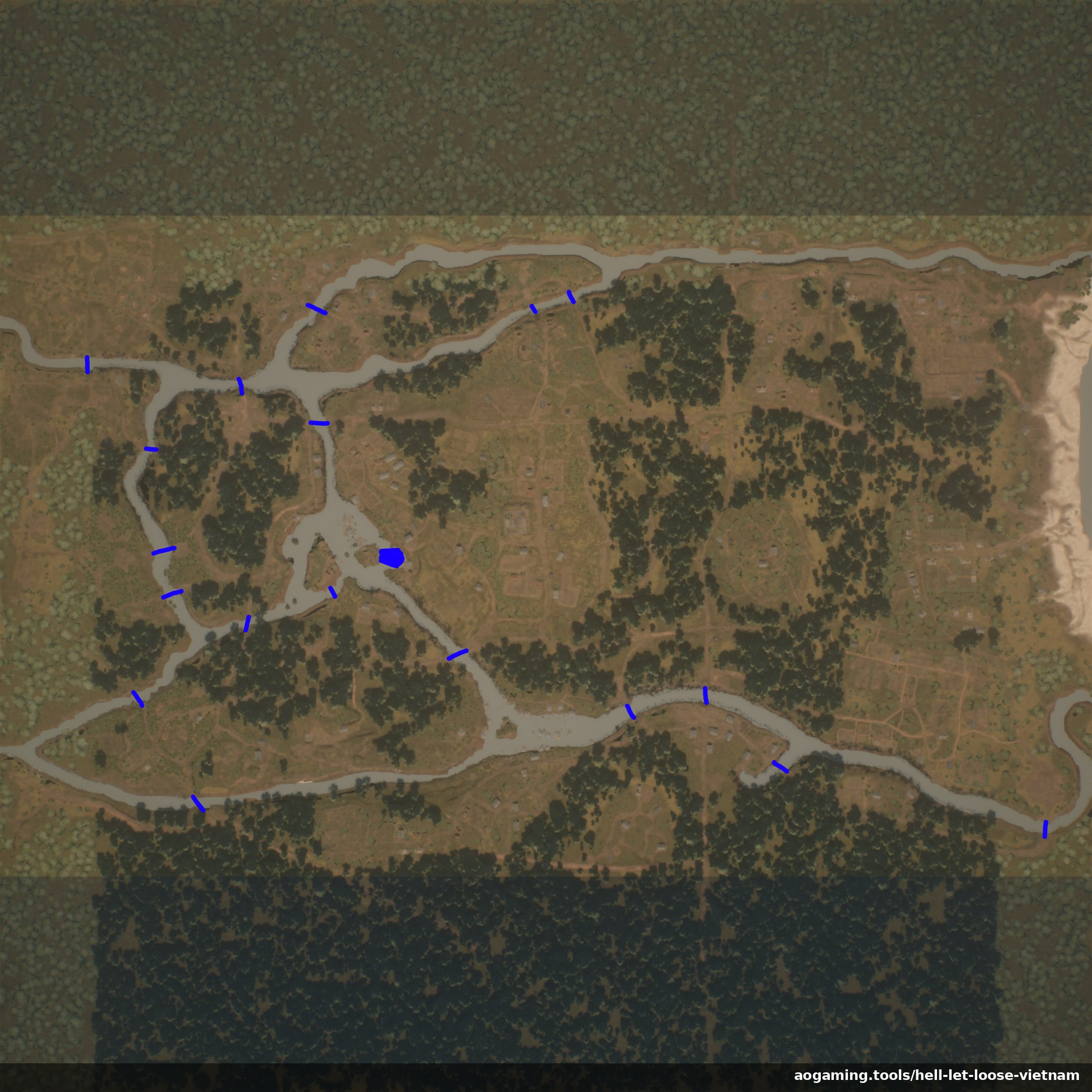
Vạn Tường
Based on: Operation Starlite, August 1965
The first major US offensive of the war, opening with an amphibious beach landing and helicopter assaults. A mix of semi-urban village fighting and dense jungle combat, with a river network for boats and infantry ambushes.
Plan on this map
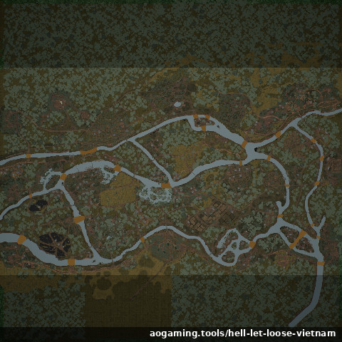
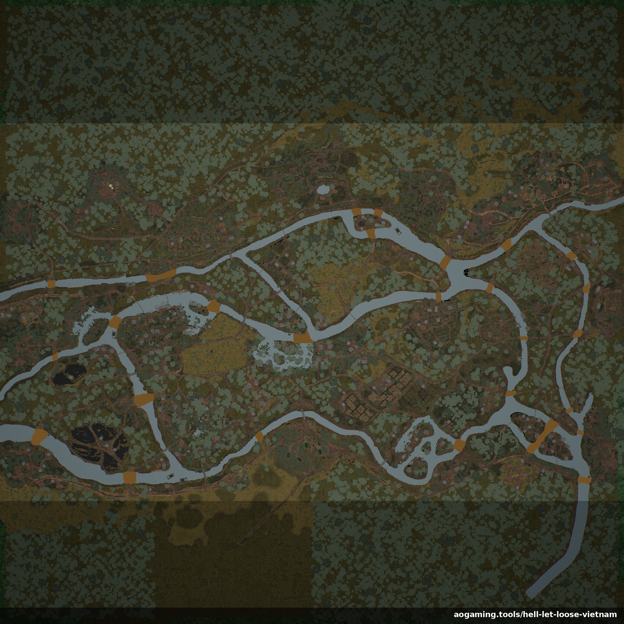
Quảng Ngãi
Based on: Operation Piranha, September 1965
The follow-up to Starlite. Monsoon flooding, rocky cliffs and caves, bamboo forest, and open lowlands, with fighting moving between tight jungle, river crossings, and clifftop positions.
Plan on this map
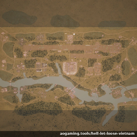
Đắk Tô Airfield
Based on: Battle of Đắk Tô, November 1967
A US airfield and hilltop fortifications in the Central Highlands, centred on a long runway scarred by artillery craters. More open than the jungle maps, favouring armour, recon, and coordinated teamwork.
Plan on this map
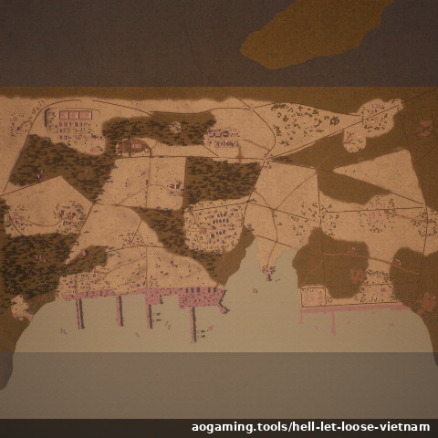
Cam Ranh Port
Based on: Cam Ranh Bay logistics facility, active by 1969
A major Air Force and Naval base on a peninsula with a deep-water bay. Dense militarised areas, dry creek beds, and dunes, with open boat skirmishes to the south and close-quarters fighting around the docks.
Plan on this map